
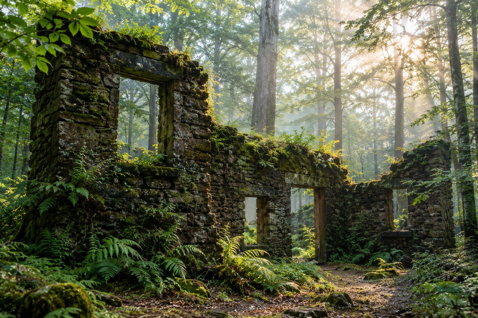
Deep inside Forest Park, one of the largest urban forests in the country, a set of crumbling stone ruins sits quietly beside a creek, half swallowed by moss, ferns, and decades of graffiti. Locals call it the Witch’s Castle, and despite the name, there was never an actual witch, or an actual castle.
What you’ll find at the end of the trail is something a little more interesting than the legend suggests: a genuine piece of Portland’s park history, repurposed by time, weather, and generations of visitors into one of the most atmospheric short hikes in the entire city.
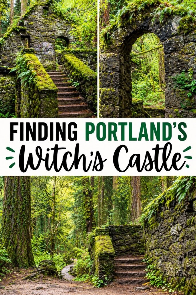
This guide walks through exactly how to find it, which trail to take, what to expect once you’re there, and the practical details that make the difference between a smooth afternoon hike and a frustrating loop around unmarked forest paths.
If you’re building this into a bigger Pacific Northwest trip, my best road trips in America guide covers the broader West Coast driving routes this fits into, and my 15 affordable weekend getaways in the US guide includes several destinations that pair naturally with a Portland stop.
For the hiking side specifically, my most incredible hiking trips in the USA guide is worth a look if this ends up being just one stop on a bigger outdoor itinerary.
What Is the Witch’s Castle, Actually?
The ruins were originally built in the 1930s as a public restroom and ranger station, constructed from stone along Balch Creek within what is now Forest Park.
The structure served park visitors for decades before falling into disuse and eventual disrepair sometime around the 1960s or 1970s, after flooding and general deterioration made it impractical to maintain.
Rather than demolishing it entirely, the city left the stone shell standing, and it has spent the decades since being slowly reclaimed by the forest around it.
Over time, the site picked up its nickname thanks to its genuinely eerie, overgrown appearance, roofless stone walls, empty window frames, and a near constant layer of moss and graffiti that shifts and changes as visitors add their own marks and the elements wear previous layers away.
It isn’t officially named the Witch’s Castle on any park map or sign. You’ll find it labeled more plainly, if at all, but the nickname has stuck firmly enough that most locals and hiking guides use it interchangeably with the ruin’s more official, forgotten name.
Where the Nickname Actually Came From
There’s no single, confirmed origin story for the name, which is part of what keeps the legend interesting. Some longtime Portland residents trace it back to the site’s general resemblance to a small, ruined fortress once photographed in low light or fog, an image that started circulating informally among local hikers decades ago.
Others point simply to the site’s slow transformation over the years, roofless walls, empty windows, and a permanent shroud of moss, into something that looks the part of a witch’s abandoned home regardless of any specific story behind it.
A handful of ghost story variations have circulated online over the years, most involving a vague, unnamed witch supposedly banished to the forest, though none of these trace back to any documented local folklore predating the ruin’s own physical decay.
In short, the building earned its nickname through atmosphere rather than history, and that’s arguably more interesting than a tidy, verified backstory would be.
Where the Witch’s Castle Is Located
The ruins sit along the Wildwood Trail and Lower Macleay Trail corridor in the southern section of Forest Park, near Balch Creek, roughly a fifteen to twenty minute walk from the nearest trailhead depending on your starting point and pace.
Forest Park itself stretches for miles along the hills on the northwest side of Portland, so getting the right entry point matters far more here than it does at a typical single trailhead destination.
How to Get There: Choosing Your Trailhead
Starting from Lower Macleay Park
This is the most popular and most straightforward route, and the one most first time visitors should use.
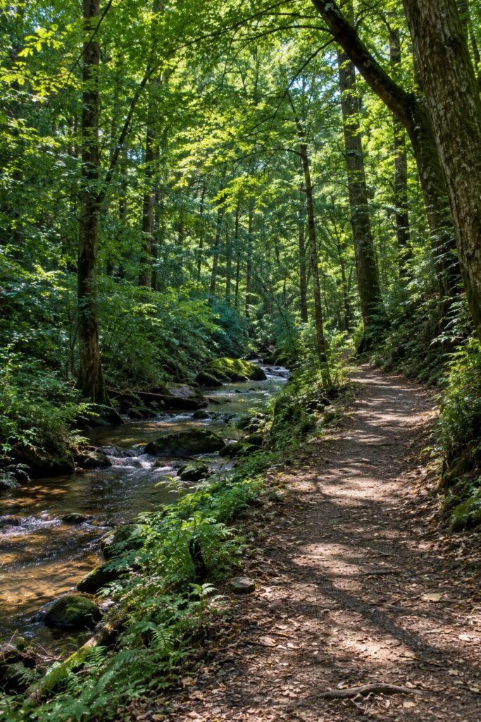
Park near the entrance to Lower Macleay Park, close to the intersection of NW Upshur Street and NW 29th Avenue, then follow the paved path that quickly turns to packed dirt as it enters the forest and begins tracing Balch Creek upstream.
The trail follows the creek closely for most of the walk, with the sound of running water and a canopy of tall trees overhead making the approach itself genuinely pleasant, not just a means to an end.
This route to the ruins covers just under a mile one way, with a gentle, mostly gradual incline that most visitors, including families with older kids, handle comfortably without much strain.
The path is well trodden and easy to follow, since it’s simply a matter of continuing upstream along the creek until the ruins come into view on your right.
Starting from NW Cornell Road
A shorter alternative starts from a small pullout area along NW Cornell Road, closer to the ruins themselves.
This route trims the walk down to a fraction of the distance of the Lower Macleay approach, useful if you’re short on time or hiking with someone who can’t manage a longer walk.
The tradeoff is a less scenic approach and a smaller, less obvious parking area that can fill up quickly on busy weekends.
Combining It Into a Longer Wildwood Trail Hike
For those looking to make a full day of it, the Witch’s Castle sits along the much longer Wildwood Trail, which threads for over thirty miles through Forest Park in total.
Hikers looking for more distance can continue well beyond the ruins in either direction, turning what’s often treated as a quick, isolated stop into a genuine half day or full day hike through one of the most extensive urban forests in the country.
If you’re the type of traveler who likes stringing together a longer route like this, my backpack essentials for multi day hiking guide covers gear worth considering even for a long single day push, and my backpacking essentials for your next trip guide rounds out the rest of what to bring.
What to Expect Once You Arrive
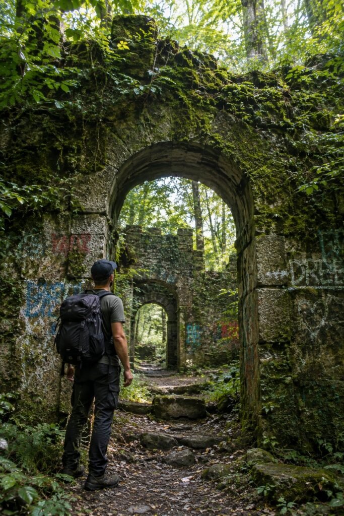
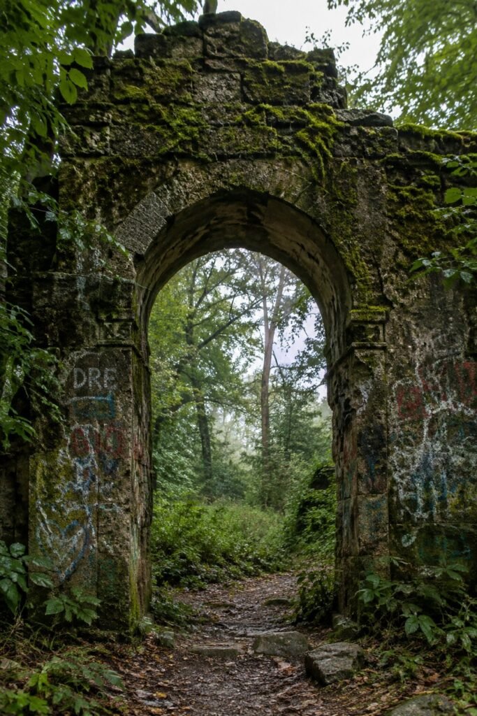
The ruins themselves are compact, a stone archway, a few standing walls, and the open, roofless shell of what was once the restroom structure, all sitting just off the trail beside the creek.
Moss covers much of the stonework, especially during the wetter months, and layers of spray paint and graffiti cover nearly every visible surface, an aspect of the site that draws mixed reactions. Some visitors find it adds to the atmosphere, treating the ever changing graffiti as a kind of open air, constantly evolving art installation.
Others find it detracts from the historic structure underneath. Either way, expect a site that looks noticeably different depending on when you visit, since the graffiti shifts continuously.
The setting itself, tucked into a shaded forest bend beside the creek, remains genuinely atmospheric regardless of the graffiti, especially on a misty morning or during the low, filtered light of late afternoon, both of which lean into the site’s slightly eerie reputation.
Best Time of Day and Season to Visit
Time of Day
Morning visits tend to offer the softest light filtering through the forest canopy, along with noticeably fewer other visitors than the site sees later in the day, particularly on weekends.
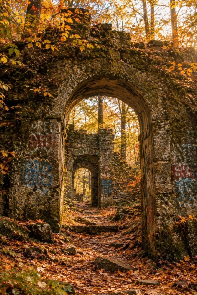
Late afternoon light, especially in fall and winter when the sun sits lower in the sky, can create genuinely striking, moody lighting through the trees that suits the location’s reputation well if photography is part of your reason for visiting.
Season
Fall brings changing leaf color to the surrounding forest and cooler, more comfortable hiking temperatures.
Winter gives the ruins their most atmospheric look, with mist and rain common throughout the Portland area during these months, leaning fully into the eerie reputation, though the trail can get muddy and slick, so appropriate footwear matters more this time of year.
Spring brings the forest back to vivid green and typically clears up some of the winter mud, while summer offers the most reliable dry trail conditions, along with the biggest crowds given Portland’s generally mild, appealing summer weather.
How Long the Hike Takes
From Lower Macleay Park, budget roughly thirty to forty five minutes each way at a relaxed pace, factoring in stops along the creek and time spent at the ruins themselves.
The shorter approach from NW Cornell Road can be done in a fraction of that time. Altogether, most visitors spend somewhere between one and two hours on a round trip visit including time to actually explore the ruins, longer if you extend the hike further along the Wildwood Trail.
Combining the Visit With Other Forest Park Trails
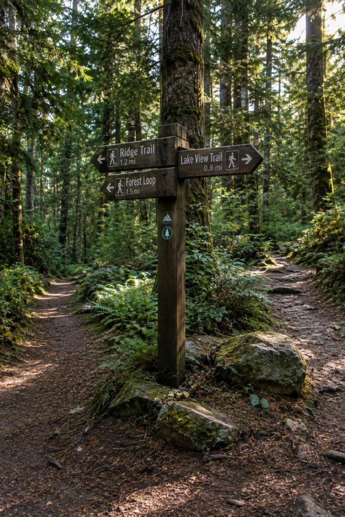
Forest Park is enormous by urban park standards, with well over eighty miles of interconnected trails threading through the hills above the city, so treating the Witch’s Castle as your only stop leaves a lot on the table if you have the time and energy for more.
Beyond continuing along the Wildwood Trail in either direction, several connector trails branch off near the ruins and loop back toward different neighborhoods, giving you the option to build a longer loop rather than backtracking the exact way you came.
Trail maps posted at the main entrances outline several of these connector options, and downloading an offline map before you go is worth doing given how spotty cell signal gets under the park’s dense canopy.
Runners and dedicated hikers sometimes use the Witch’s Castle as a rough midpoint marker on longer out and back routes through the park, a useful way to think about pacing if you’re the type who prefers a full morning of movement to a single short stop and turn around.
What to Check Before You Go
Portland’s weather shifts quickly and often, so checking the forecast the morning of your visit, rather than relying on a general seasonal expectation, saves you from either overdressing on a mild day or getting caught without a jacket during an unexpected shower.
Trail conditions are also worth a quick check if you’re visiting after a significant storm, since heavy rain can leave sections of the dirt trail genuinely soft and slick for a day or two afterward, particularly along the creek adjacent stretch of the Lower Macleay approach.
Sunset and sunrise times matter more here than you might expect for a short hike, since the forest canopy cuts available light faster than the open sky suggests, so a visit planned for late afternoon can turn into an unexpectedly dim walk back if you linger at the ruins longer than intended.
What to Bring
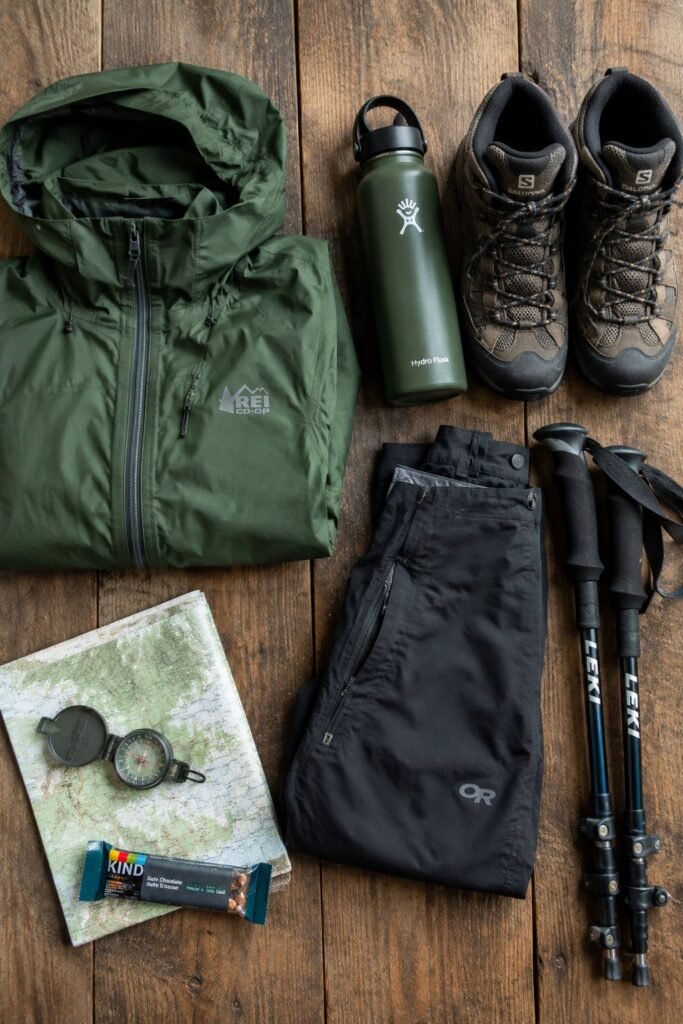
Comfortable, closed toe walking shoes matter here, since the trail can be muddy, especially outside of summer, and the terrain immediately around the ruins is uneven.
A light rain jacket is worth carrying regardless of season, given how quickly Portland weather can shift, and if you’re visiting during the wetter months, waterproof footwear specifically makes a real difference in overall comfort.
Bring water even though the hike is short, since the walk does involve a steady, if gentle, incline on the way in.
A camera or phone with a decent low light setting helps capture the site’s filtered, shaded lighting, which can be trickier to photograph well than a bright, open landscape.
If you’re building this stop into a broader trip with other outdoor destinations, my best camping gear under $50 guide and fall camping packing list for the USA guide both cover useful, inexpensive gear that carries over well to a day hike like this one.
Parking and Getting There by Car or Public Transit
Street parking near Lower Macleay Park is free but limited, and it fills up quickly on weekends and during good weather, so arriving earlier in the day genuinely helps secure a spot close to the trailhead.
Portland’s public bus system also serves the general area, making this one of the more accessible forest hikes in the city for visitors without a rental car, worth checking current routes and stops before your visit given how frequently transit schedules can shift.
If you’re flying in specifically for a Portland trip, my airport carry on essentials guide is worth a look for the travel side of the visit.
Accessibility and Difficulty
The Lower Macleay approach involves a gentle, sustained incline over natural dirt trail rather than pavement, which makes it moderately accessible for most fitness levels but not suitable for wheelchairs or strollers beyond the initial paved section near the park entrance.
The shorter Cornell Road approach involves a steeper but much briefer descent to reach the ruins. Neither route is technically difficult, but both involve uneven natural terrain that requires reasonably sturdy footing.
Nearby Things to Do

Portland’s NW 23rd Avenue shopping and dining district sits within a reasonable drive or rideshare of Forest Park, offering an easy way to bookend the hike with a meal or some browsing afterward.
The Portland Japanese Garden and Hoyt Arboretum both sit within Washington Park, elsewhere in the city’s west hills, and make for a strong pairing if you want to build a fuller day of outdoor Portland activities around your visit to the ruins.
If you’re treating this as part of a broader weekend trip, my cheap weekend getaways for couples guide covers planning logic that applies well to a Portland based weekend even though it wasn’t written specifically about this city.
Beyond the immediate west hills area, Portland’s food cart scene, spread across numerous pods throughout the city, offers an easy, budget friendly way to refuel after a morning hike without committing to a sit down restaurant reservation.
The Pearl District, a short drive from Forest Park, rounds out a day trip with galleries, shops, and a noticeably different urban atmosphere than the quiet forest trail you just came from, a nice contrast if you’re spending a full day exploring the city around your hike.
Photography Tips
The ruins photograph well in soft, diffused light, meaning an overcast day, surprisingly common in Portland, often produces better results than harsh midday sun cutting through gaps in the canopy.
Shooting through the empty window and door openings creates a natural frame that a lot of visitors use to their advantage, and including the surrounding moss and ferns in the foreground helps ground the shot in its forest setting rather than isolating the stone structure alone.
Given how shaded the site is, a phone camera’s low light or night mode setting, if available, often produces noticeably better results than a standard auto setting.
Common Mistakes to Avoid
Underestimating the walk is a common one, since the ruins sit further from the main parking area than some visitors expect based on how frequently the site shows up on quick “things to do in Portland” lists.
Wearing the wrong footwear, particularly in Portland’s wetter months, turns an easy walk into an uncomfortable, muddy one.
Visiting during peak midday hours on a weekend often means sharing the small ruin site with a genuine crowd, which can undercut the quiet, atmospheric appeal that draws people there in the first place.
And relying entirely on a phone’s GPS without a general sense of the trail layout can occasionally cause confusion, since Forest Park’s dense tree cover sometimes interferes with signal and location accuracy.
Safety Tips
Stick to the established trail rather than climbing on the ruins themselves, since the stonework has weakened significantly over the decades and isn’t structurally maintained.
Watch your footing on the trail, particularly during wet months when roots and packed dirt can get genuinely slick.
Let someone know your general plan if you’re hiking alone, and consider visiting with at least one other person, particularly if you’re planning to arrive early or stay until dusk when the trail sees fewer other visitors.
Keep an eye on the time if you’re visiting later in the day, since the forest canopy makes the trail darken faster than the open sky might suggest.
Frequently Asked Questions
Is the Witch’s Castle actually haunted? There’s no credible evidence of that, and the ruins are simply the remains of a decommissioned park restroom and ranger station, though the site’s overgrown, graffiti covered appearance has understandably fueled its spooky reputation over the years.
How far is the hike to the Witch’s Castle? From Lower Macleay Park, it’s just under a mile each way, roughly a thirty to forty five minute walk depending on pace, while the Cornell Road approach is considerably shorter.
Is the trail suitable for kids? Yes, generally, since the Lower Macleay approach involves a gentle, well maintained dirt trail, though supervise kids closely once you reach the ruins themselves given the uneven stonework.
Can I bring a dog? Yes, dogs are generally welcome in Forest Park, though they should remain leashed throughout the trail as is standard practice in the park.
Is there an entrance fee? No, Forest Park and the trail to the ruins are free to access, with no permit or reservation required.
What’s the best time of year to visit? Fall and winter lean most into the site’s atmospheric, slightly eerie reputation, while spring and summer offer more reliable dry trail conditions and a greener overall setting.
Is the site safe to visit alone? Generally yes during daylight hours given how popular and well trafficked the trail is, though as with any forest hike, basic precautions like letting someone know your plans are worth following.
Can I climb on the ruins? It’s discouraged given the structure’s age and weakened condition, and sticking to ground level around the ruins is both safer and better for preserving what remains of the site.
Is parking free? Yes, street parking near both main access points is free, though it’s limited and fills up quickly during busy periods.
How crowded does it get? Weekends and good weather bring noticeably more visitors, so an early morning or weekday visit offers a quieter, more atmospheric experience if that’s a priority for you.
Can I take wedding or portrait photos there? Many photographers do use the site informally for portraits, though it’s worth checking current Portland Parks and Recreation guidelines if you’re planning a larger, more organized photo shoot rather than a casual personal visit.
Is cell service reliable on the trail? Not always, given the dense tree cover throughout Forest Park, so downloading an offline map or screenshotting directions before you start is a reasonable precaution.
Are there restrooms near the trailhead? Limited facilities exist near the main Lower Macleay Park entrance, so plan accordingly before setting out, since none are available along the trail itself or at the ruins.
Is the hike wheelchair or stroller accessible? Only the initial paved section near the Lower Macleay Park entrance is accessible in that way, with the remainder of the trail consisting of natural dirt terrain unsuitable for wheels.
Final Thoughts
The Witch’s Castle earns its spot on Portland’s list of must-see spots not because of any real ghost story, but because it’s a genuinely atmospheric, easy to reach piece of forgotten park history sitting quietly in the middle of one of the largest urban forests in the country.
The walk itself, tracing Balch Creek through tall trees and filtered light, is worth the trip even before you reach the ruins, and the stone structure at the end, mossy, graffiti covered, and quietly falling further into the forest each year, makes for one of the more memorable short hikes you can fit into a Portland visit.
Time it right, wear the right shoes, and give yourself a little extra time to actually sit with the atmosphere rather than snapping a quick photo and turning back. If you’re planning a bigger West Coast trip around this stop, my must see places to visit in USA guide covers Portland alongside several other destinations worth weaving into the same itinerary.